What Is a Hydrographic Survey? Exploring Its Role in Marine Mapping
Posted on Nov 27, 2024 at 07:11 PM
When you hear the term "hydrographic survey," you might picture something out of a marine biology textbook,or perhaps even an adventure on the high seas! But in reality, a hydrographic survey encompasses the study of bodies of water, including their depths, currents, and the physical characteristics of the sea floor.
This crucial tool is paramount for navigation, resource management, and environmental protection. So, how does it work, and why is it so important? Let’s explore in this article
What is the Principle of Hydrographic Survey?
At its core, the principle of hydrographic survey is all about surveying and collecting data about water bodies like oceans, lakes and rivers to create reliable maps. The primary purpose? To establish the underwater topography and bathymetric records and understand the physical aspects of marine environments.
Whether it's for safe navigation of large vessels or the planning of infrastructure, precision is the name of the game. Surveyors collect precise measurements using various instruments and technologies to make sure they're delivering high quality and accurate topographic maps that other industry professionals can rely on while navigating through complex water systems.
What Does a Hydrographic Survey Deal With?
Hydrographic surveys measure a wide range of data that covers everything from water depth and underwater geology to tides and currents. Essentially, they provide a comprehensive view of the aquatic environment. This measurement is vital for multiple applications, including:
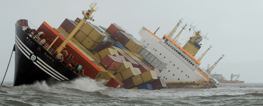
- Navigation: The importance of hydrographic surveys is helping ships avoid underwater hazards.
- Environmental Monitoring: Assessing the impacts of pollution or climate change on marine ecosystems.
- Resource Management: Supporting sustainable fishing practices or underwater mining operations.
- Coastal Development: Measuring data for dredging activities, construction projects adjacent to the coastline or offshore equipment installations.
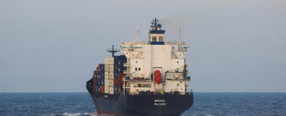
Hydrography is like the GPS system for the marine world; it guides those who navigate these waters, and offers important data that's then used for creating nautical charts.
What Are the Methods of Hydrographic Survey?
Traditionally, hydrographic surveys relied on straightforward methods such as echo sounding, which involves sending sound waves into the water to determine the depth of the seabed. This basic technique has evolved tremendously! Here are some modern methods employed to explore a waterway:
Multibeam and Side-scan Sonar
These technological methods give detailed images of the seafloor, revealing features and obstacles. According to the NOAA, In contrast to single-scan sonars, which conduct a single transducer for mapping the ocean field, multi-beam sonar transmits several sonar beams (or acoustic waves) simultaneously in a fan-shaped formation.
LiDAR (Light Detection and Ranging)
Aerial surveys using lasers offer topographical data for shallow waters and coast regions. In these types of surveys, the surveyor performs a scan of both the land and water based on different rays, which is essential when processing data to generate a high resolution electronic chart.
Satellite Remote Sensing
This technique collects information from space, allowing for extensive mapping of surface water conditions. Through this method, you can get an update on major natural changes on a large scale.
Using these innovative tools, hydrographic surveys can gather massive amounts of data that were previously unattainable, leading to more effective and safer navigation.
Benefits and Drawbacks of Hydrographic Surveys
Conducting hydrographic surveys comes with its array of benefits, it includes:
- Safety: They provide critical information that helps prevent maritime accidents and come up with solutions or safe measures for a variety of risks like a flood.
- Economic Efficiency: By scouring a terrain and mapping resources, consultants support industries by saving time and energy and increasing efficiency like fishing at pays and shipping, ensuring sustainable practices.
- Environmental Conservation: They help monitor and protect fragile marine ecosystems by informing conservation efforts.
On the flip side, there are some drawbacks to consider:
- Costly Processes: Advanced surveys can require significant investment in technological products and experienced engineering personnel who specialise in hydrographic services and receive maritime professional training.
- Weather Dependency: Conditions and other environmental factors can affect the process of data collection and accuracy. Bad weather and tidal changes can thwart even the most advanced survey efforts! Knowing the right days and hours to produce the most specific and accurate sampling data is important.
The world of hydrographic surveys plays a central role in understanding and preserving our oceans. Whether you’re ensuring safer shipping routes, managing resources, or monitoring environmental changes, the significance of hydrographic surveys cannot be overstated. As we look ahead, advancements in technology and training will likely lead to even more refined and robust methods, further enhancing our capability to map our watery world accurately. So, whether you’re charting new waters or studying existing ones, remember that hydrographic surveys are key to navigating our oceans safely and sustainably!
